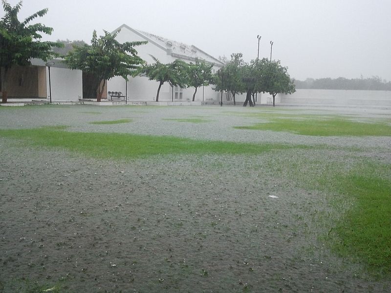
Powerful atmospheric rivers are poised to strike the Northwestern United States, ushering in heavy rain, substantial snowfall, and robust winds.
Spanning across several western states, these atmospheric rivers are predicted to traverse from Washington and Oregon toward Colorado and Wyoming in the coming days, triggering multiple winter weather alerts.
These atmospheric rivers, known as ARs, are corridors of moisture that transport saturated air from the tropics to higher latitudes, resulting in prolonged periods of rain or snow.
The Winter Storm Severity Index (WSSI) signals potential significant impacts, particularly in the elevated terrains of the Pacific Northwest and the Rockies. These areas may experience hazardous, if not impossible, travel conditions, according to the Weather Prediction Center.
Projections estimate rainfall ranging from 5 to 10 inches along the coastal regions of Oregon, Washington, and northwestern California, while mountainous areas could accumulate up to 1 to 3 feet of snow throughout the weekend.
Concerns over avalanches have prompted warnings in parts of Oregon and Washington, including various mountain passes. The Northwest Avalanche Center in Seattle has cautioned against travel in avalanche-prone regions, expecting perilous avalanche conditions to emerge within the next day.
A series of successive atmospheric rivers, termed an AR family, commenced on Saturday and is expected to persist until Wednesday, providing little respite between systems. This ongoing deluge heightens the risk of flooding due to insufficient recovery periods for rivers and soils.
Chad Hecht, a research and operations meteorologist at UC San Diego's Center for Western Weather and Water Extremes, highlighted that consecutive atmospheric river events exacerbate hydrological impacts by impeding the receding of rivers and soils.
An impending level 4 AR event is forecasted to impact Oregon's entire coastline, signaling potential flooding risks and travel hazards.
While some atmospheric river events, particularly levels 1 and 2, offer beneficial rain crucial for bolstering water supply in the Western US, higher-level events like levels 4 and 5 pose more hazards than advantages. Increased risk of flooding and travel disruptions outweigh their potential benefits.
The Weather Prediction Center emphasized the heightened risk of flooding due to saturated soils from increased rainfall over the weekend. Elevated snow levels might further exacerbate flooding risks along the western slopes of the Cascades due to snowmelt.
Anticipating excessive rainfall, a moderate risk for flooding has been issued across western Oregon and Washington on Sunday, Monday, and Tuesday.
Additionally, gusty winds up to 50 mph are expected, posing threats of tree and power line damage across the region. Photo by Prabas007, Wikimedia commons.


