


A recent analysis conducted by a flood-risk research group suggests that millions of Floridians residing in low-lying areas will be displaced by the end of the century due to rising sea levels
caused by global warming. Storms amplified by higher ocean levels are expected to pose significant challenges to coastal regions, forcing residents to elevate their homes or face the risks associated with flooding and skyrocketing insurance costs.
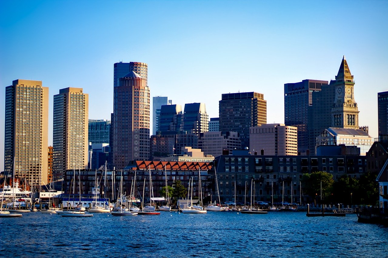
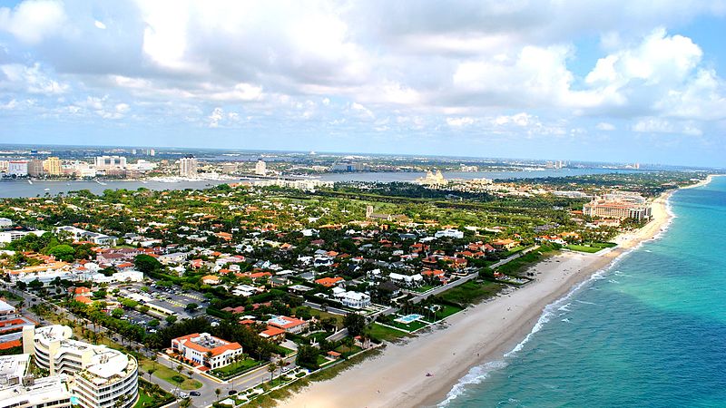
Florida's appeal has long been associated with its beachside living, but with projections indicating a one-foot rise in sea levels by 2030 and an additional three feet by the end of the century, the dream homes of many could transform into nightmares. According to Adrian Santiago Tate, CEO/cofounder of HighTide Intelligence, approximately 1 million buildings in Florida are at risk of being inundated, with around 90% of them being single-family homes. The objective of HighTide Intelligence is to make the concept of flooding tangible for individuals.
To demonstrate the potential risks, HighTide Intelligence developed a user-friendly website called Arkly.com, which provides building-level flood risk data to the public. By searching their address on the platform, individuals can assess whether their homes are at high risk of flooding and property damage due to their low elevation.
The impact of rising sea levels is already being felt by Floridians. After the previous hurricane season, homeowners in Florida witnessed a doubling or tripling of their insurance premiums, while some received cancellation letters. Several insurance companies have either ceased operations or completely withdrawn from the state.
Satellite Beach, along with other coastal cities, has been advising residents in vulnerable areas to plan for future challenges. In an effort to provide concrete data supporting these warnings, Satellite Beach commissioned a three-year study by HighTide Intelligence, funded in part by a $275,000 grant from the Florida Department of Environmental Protection (DEP). The study aimed to assess flood risk and explore strategies to enhance the city's resilience to sea-level rise. As a result of this project, HighTide decided to make its statewide dataset on building-level flood risk available to the public through Arkly.com.
Risk assessment in the insurance industry often refers to "hundred-year storms," which historically had a 1% chance of occurring in any given year. However, the frequency of such storms is increasing due to global warming. HighTide's findings for Florida's 35 coastal counties indicate that a hundred-year storm would potentially flood at least 1.28 million buildings, causing losses of up to $261 billion. By 2030, with rising sea levels, these figures would increase to 1.3 million buildings and $270 billion in losses. The projections for 2050 estimate 1.6 million buildings and $321 billion in losses, ultimately escalating to 2.4 million buildings and an astonishing $624.5 billion in losses by 2100.
Santiago Tate credited Satellite Beach for their proactive approach to planning for sea-level rise, emphasizing the importance of effectively communicating risks to residents. The city's study revealed that if no action is taken, rising seas and powerful storms could put 2,200 households, accounting for half of the city's population, at risk, resulting in approximately $142 million in flood damages to buildings by 2050.
Local governments can benefit from insurance discounts through the Federal Emergency Management Agency's National Flood Insurance Program (NFIP) by implementing floodplain management activities that qualify for points in the Community Rating System (CRS). Satellite Beach is actively working to improve its rating and enhance the resilience of its vulnerable homes and infrastructure situated along the low-lying banks of the Indian River Lagoon on the city's west side. Photo by Michael Kagdis, Wikimedia commons.